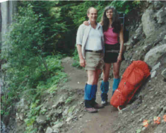
Paul & Ellen Martin
August 12, 1989
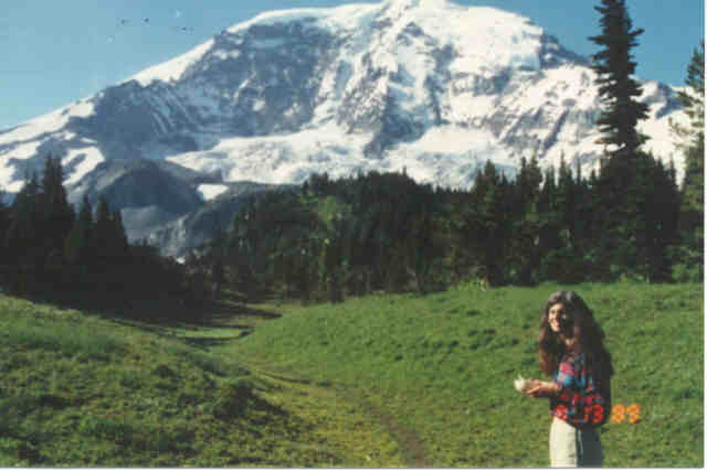
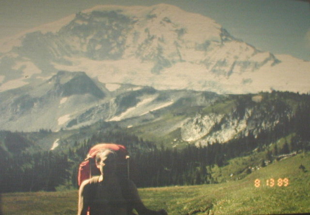
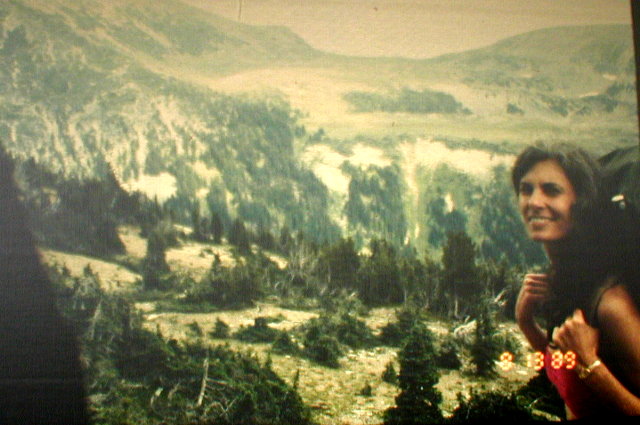
Ellen and I hiked around Mount Rainier on the Wonderland Trail in August of 1989. Now, two years later, I can still say that it was the best 10 days of my life. I just finished reading a book describing the "flow" experience and now I think I understand why the hike was such a pleasurable experience. According to this book, happiness, or optimal experience, happens when you are engaged in an activity that balances skill and challenge.
If the activity is out of balance by being too challenging, anxiety results instead of happiness. Conversely, if not challenging enough, boredom results. The idea of "flow" is that the activity is so challenging that it demands all of your attention so that time passes without your noticing it, and you have to keep your attention focused on the activity. It is also not too challenging; you are able to succeed at the activity all along the way. These intermediate successes give you positive feedback which make you feel good about yourself all the while you are doing the activity, and they give you a sense of accomplishment when you are finished.
This is a long preamble to describing our hike, but I think it explains why it provided us with such a pleasurable time. Our experience had all the elements of flow. First of all, we spent 10 days in a world we both love: in the mountains and with each other. The weather was good for the most part, and the scenery was breathtaking. Neither of us had any guarantee that we could make it all the way around the 93 mile trail so we had the challenge that is required by flow. Our skills were pretty well matched for the challenge since each day's hike was difficult for both of us, but we did complete the trip except for some minor technicalities that I will describe later.
There was an abundance of positive feedback all along the way also. The magnificent views continually changed in front of us as we walked, the wildlife would surprise us with their unpredictable appearances, and there were other simple pleasures that rewarded us such as just being able to take off the heavy packs for a while and relax sitting on a rock.
I don't think there is any way to describe the experience that will do justice to actually doing it, but let me take you through it day by day and this will give you some idea.
PREPARATION
Before I start describing the actual hike, I should tell you something about how we planned and prepared for the hike.
We decided on the date of August 12, 1989 two years in advance.
We decided on the middle of August because of the least amount of snow on the trail and the highest likelihood of good weather. We decided on 1989 because we went to a Droge family reunion in 1988 which used up most of Ellen's vacation for the year.
This two year wait gave us time to prepare both our equipment and our bodies, so we thought.
PHYSICAL CONDITIONING
Since neither Ellen nor I had been on such a long hike, we planned to take several short hikes to break in our boots, test our equipment, and get our bodies and feet in shape. Unfortunately, I had to spend six weeks in Denver for IBM during the summer of 89. I would be finished on August first, just two weeks before our trip.
Worse than that, I hurt my back pretty badly early in June and had to wear a brace nearly the entire time I was in Denver. So instead of conditioning myself during the summer, I was atrophying.
My back started feeling OK just at the end of the Denver work. By the first of August, I would only have pain if I rode in a car for over five minutes. Otherwise it didn't hurt. I had no idea how much strength I had in my back and no idea what it would take to have a setback. My back doctor encouraged me and told me just don't do any dumb twisting, jerking, or heavy lifting stunts.
During the two weeks before the trip, Ellen and I did some short hikes in Carkeek Park carrying bleach bottles of water in our packs. Ellen, Aziza and I also did a short hike up the first Burroughs mountain on August 6 when we were in the park to cache our food.
As it turned out, we had no problem with conditioning. I never was worried about Ellen, but I didn't know exactly what to expect with my back.
EQUIPMENT
We did pretty well preparing our equipment. The only thing we regretted not bringing was some foam toe pads to prevent blisters, and the only thing we brought that we didn't use was some dish soap and a scrubber. Otherwise, we brought just the right amount of stuff - 90.45 pounds of it!
We used a Lotus spreadsheet to plan for our equipment. Everything we planned to take was listed on the sheet and everything was weighed. I entered all the weights in ounces and let Lotus convert each to pounds and add them up. There were about 160 items on the list. Seeing how the ounces added up to real pounds helped us make choices on how much and what to bring.
We bought a new camera for the hike. We chose a Yashica Samurai because it has a zoom lense built into it so we could get scenery as well as close-ups of plants and animals. It also takes half-frame pictures so we would get twice as many pictures per roll of film as with an ordinary camera.
We debated on what to do about water and finally decided to invest in a Katydyne filter pump. This is fairly expensive but it allows you to pump a liter of water from just about any source in just a few minutes and it strains out the impurities, in particular the Giardia cyst. This is the thing that makes it dangerous to drink any natural ground water any more. Giardia is also known as Beaver Fever and it makes you very very sick.
The other options for water are boiling it or treating it with iodine, which makes it taste bad. Neither of these alternatives appealed to Ellen or me.
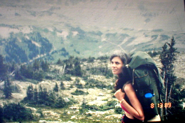
For packs, we used our old REI Cruiser pack frames. We bought a couple of used packs at a garage sale and I used the bag from one of them. It is a huge bag called the "Freighter" and it fits on the Cruiser frame. Ellen used the regular Cruiser bag. Together, these packs worked out well and we had plenty of room for everything.
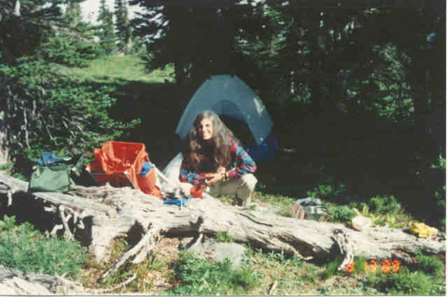
For most things, we tried to get the lightest weight we could. We bought two new light weight sleeping bags that weighed 2.56 lb. each. Our "Whisperlight" stove only weighs .74 lb. (11.8 oz.), and our "Flashlight" Tent only weighs 3.5 lb.
One of the best choices in optional equipment that we made was an altimeter. This proved to be extremely useful psychologically. I kept it in my front pocket and I think I looked at it at least every ten minutes during the entire hike. Since we knew the elevation of every high and low point on the trail (we carried another Lotus spread sheet with us which I will describe later when I talk about the route), as we hiked up, or down, the altimeter would tell us how near we were to reaching the high or low point.
Without it, if you are hiking uphill, for example, you sometimes get fooled into thinking you're almost at the top. When it turns out that what you thought was the top really wasn't, it can be demoralizing. Especially if you are exhausted and it happens several times on the same trail. Also if you are pacing yourself and paying attention to your consumption of energy and oxygen and are taken by surprise by reaching the top before you expected it, you may find that you have been too conservative in pacing yourself and you could have gone faster.
The altimeter prevents these psychological problems by telling you exactly where you are all the way as long as you know the elevation of your destination. I would highly recommend taking one with you on any long hike.
FOOD
We used freeze dried food for all meals except breakfast. We didn't know which brands were best so we bought a little of each brand. Later we learned that there is a big difference; Mountain House is very good - Alpine Aire is very bad!
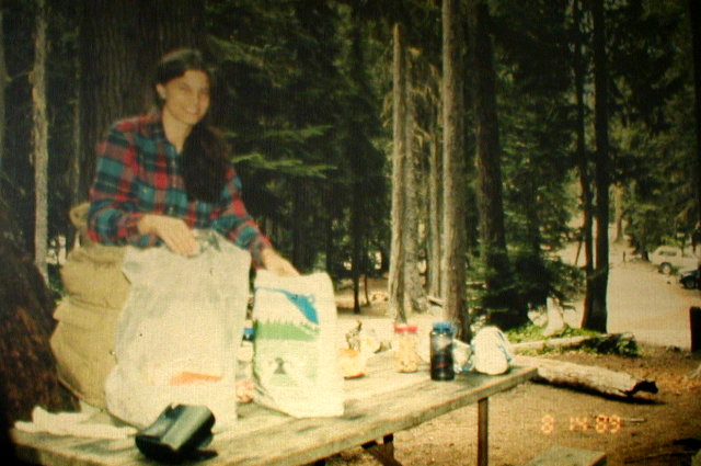
The equipment list showed each item of food and the specific meals that we planned to use it. This allowed us to figure out which food items to cache with the Rangers at which places.
We had talked to the park rangers and found out that they will allow you to cache food with them at the ranger stations ahead of time and then pick it up as you hike through if you get there when the ranger station is open.
We decided to cache food at Sunrise and at Longmire. They don't provide refrigeration so you can't cache perishables. They also won't cache fuel because of the hazard and park regulations.
We pulled a sneaky stunt, though. When we brought our food to Longmire, we had some cheese and some other stuff that needed refrigeration just on the chance that they would let us put it in a refrigerator. To increase our chances, we brought along a plaster copy of the model of Mount Rainier that I made and gave it to the rangers at Longmire.
They seemed to like it and they seemed to find room in their refrigerator for our cheese. Also one of the rangers offered to personally take a couple bottles of fuel for us and store them in his home. He told us how to find it when we came through because he didn't plan to be home on the day we would be there. We were happy with how this worked out.
THE ROUTE
As I mentioned earlier, I used another Lotus spreadsheet to plan our route. I entered a line on the sheet for each location along the Wonderland Trail that was either at the top of a ridge, the bottom of a valley, or a campsite. For each of these locations, I put down its name, its elevation, and the distance in miles from the previous location on the list.
From this, I had Lotus calculate the incremental elevation gains and losses and the cumulative mileage and elevation gains and losses.
With this information, it was easy to pick destinations for each night that would give us a reasonable hike each day.
We decided to start at the Ipsut Creek Campground and go clockwise around the mountain. This would put us at Paradise half way through the trip. We made reservations at the Paradise Inn for the night we planned to be there. This meant that we would spend four nights camping out, one night in a regular bed in the Inn, and then four more nights camping out. This turned out to be an excellent plan that we would recommend. You sure appreciate that shower and bed halfway around. Not to mention two meals served to you while you are sitting at a table in a restaurant.
We chose the clockwise direction because in the book describing the Wonderland Trail, it sounded like the trail in the Stevens Canyon was the worst part of the trip. With our plan, our packs would be their lightest during that part of the hike and we would have the Inn waiting for us when we got out of the Stevens Canyon.
The reason our packs would be so light is that we cached food at Longmire and we would eat two meals at Paradise. This meant that we were carrying almost no food in the Stevens Canyon.
Another part of the plan was that Dave and Charis, my son and daughter-in-law, were going to try to meet us when we reached Mowich Lake and hike the rest of the way out with us. That would be our last night on the trail before getting back to our car. Since they weren't sure if they could make it, and we would have no way to communicate, we didn't plan to depend on them meeting us. It turns out that we did depend on them, but I'll save that for later.
All in all, our planning and preparation worked out well. Now for the hike itself.
DAY ONE
When we drove into the Ipsut Creek Campground on August 12, 1989, the parking lot was full and cars were parked along side the road everywhere. The ranger told us to park on the side of the road pretty near the ranger station. Since our car was going to sit there for 10 days, we thought it was probably safer from vandalism being that near to the ranger station rather than back in the parking area.
When we checked in, we gave the ranger a copy of our Lotus spread sheet showing each night's destination. This made it easy for him to give us our permit. We didn't get a permit to match our plan exactly because many of the camps we had chosen were full on the nights we were to be there. In these cases, the ranger gave us a permit to camp in the back country near the destination. This means that we can camp in a fairly large designated area anywhere that was half a mile from the trail and over 100 yards from any water.
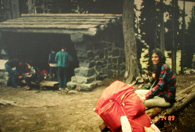
While we were in the ranger station, we bought a last minute piece of equipment. We bought a small plastic shovel for digging a latrine. This was a good idea; it came in handy. It also is marked in inches so you know how deep to dig the hole, and it doubles as a toilet paper holder when you stick it in the ground.
It took us a little while to figure out which trail leaving the Ipsut Creek Campground went where we wanted to go. Once we were on the right trail, our spirits were high and the trail was good.
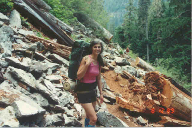
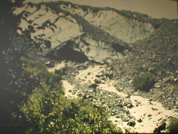
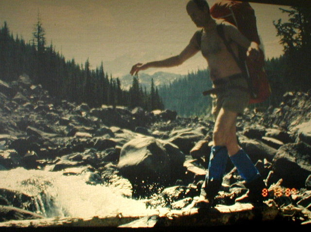
This lasted only half a mile or so. Then the trail got awful. The Carbon River had washed out the trail for a couple miles and so for this distance, we had to scramble across huge boulders. It was slow going and dangerous picking our way across this, but finally we got past it and on to a good trail again.
In another mile or two, we crossed a log bridge over Cataract Creek. Usually the trails and bridges are very well maintained by the park rangers. The washed out trail on the Carbon River was a temporary exception. We also were told that a bridge over the South Mowich River was washed out. That didn't bother us too much, though, because we wouldn't get there until near the end of our trip and the rangers had eight days to fix it. Plenty of time.
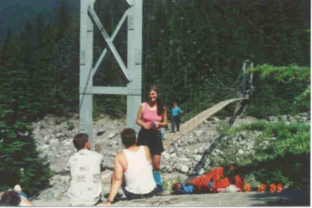
In just a little way, we came to a fairly big steel suspension bridge over the Carbon River. It is a single lane foot bridge and there was a lot of traffic coming across it going the other way, so we took off our packs and waited on a big flat rock. We decided to eat lunch while we were waiting and we also took off our boots. It felt so good.
While we were on this rock, we met a couple of guys that seemed to want to talk. They were soldiers stationed at Fort Lewis. Their names were Joe Tracey and Dwight Schooley. Joe was some relative of Spencer Tracey - a grandson or a nephew I think.
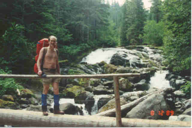
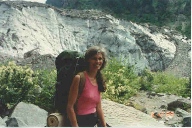
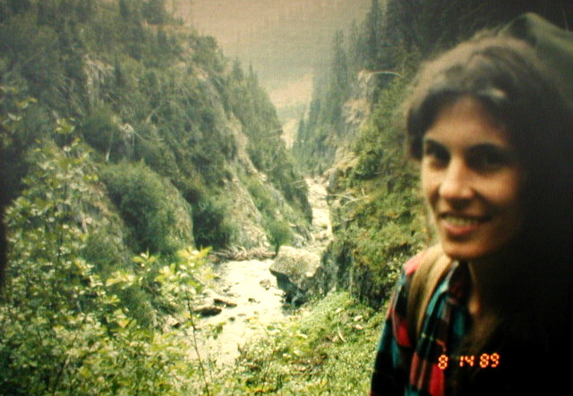
When we finished our lunch, we got our boots back on and headed across the bridge and up the trail following the Carbon River on its east bank. In a short distance, we came to the snout of the Carbon Glacier. It is a pretty awesome sight. It is a big hunk of ice that is black with dirty rock all over it. There is a big cave at the front of it and the Carbon River has its start gushing out of that cave.
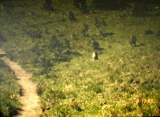
Joe and Dwight hiked and talked with us up to this point and then they turned back. We continued up as the trail got steeper leading up into Moraine Park. There were lots of flowers as we climbed and as we got above 5000 feet, we came across several marmots.
Our plan had called for Mystic Lake as our destination for the first night, but since there was no space there, the ranger had assigned us to Curtis Ridge. This is the ridge that flanks the Carbon Glacier and is just above Mystic Lake on the other side.
It was a long hard climb to the pass on Curtis Ridge but having the altimeter enabled us to pace ourselves and trudge along keeping in some kind of equilibrium with oxygen, energy, and spirit.
When we got to the pass at the top of the ridge, we left the Wonderland Trail and took a way trail that followed the ridge up.
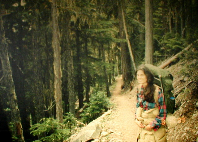
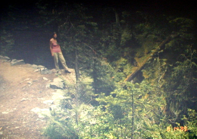
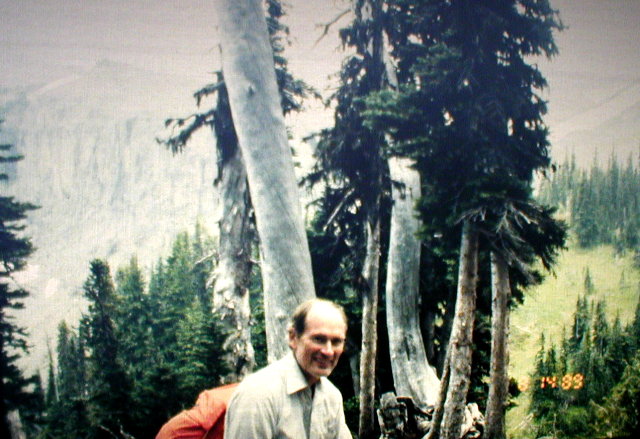
We went about a half a mile and found a nice camp site. We set up our camp, put on long pants and hats to keep off the bugs, and fixed our dinner. We were pretty tired. Even though we had hiked only half a day and gone only about 6 miles, our packs were at their heaviest (mine about 40 lb. and Ellen's about 30), and we had gained about 3700 feet of elevation. We were tuckered out and it felt good to hit the sack.
DAY TWO
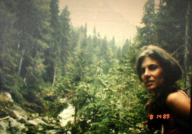
In the morning, we woke up to see deer ambling through our camp site. We took some pictures and then after breakfast, walked up quite a ways on Curtis Ridge to see the view. Unfortunately, there was fog in the valley so we didn't have good views of the Carbon Glacier or the other side of the valley. The fog was moving pretty fast though, so every so often we would get glimpses of the views.
The fog was low so the views of the mountain above were clear and spectacular.
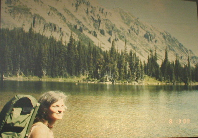
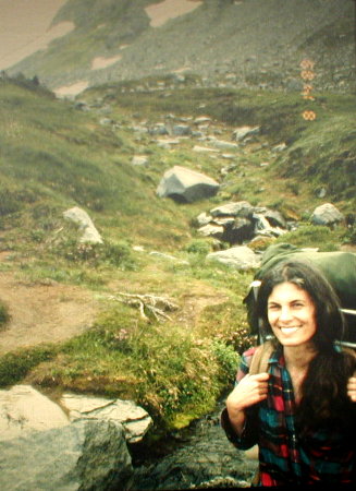
We went back to our camp and packed up and got back on the trail. When we got to the pass, we went down the other side of the ridge toward Mystic Lake. There we saw some more deer wading in the lake. A little ways down the trail, we came across two marmots running and playing. We took some pictures of them and in one picture we caught the two marmots standing up hugging each other.
The trail here provides awesome views of Willis Wall. This is the big steep wall of crumbling rock on the north side of the mountain. The rock and ice that fall over the wall are what form the Carbon Glacier at the bottom.
After Mystic Lake, the trail descends 1400 feet in order to get below the snout of the Winthrop Glacier. Here at the bottom, a log bridge with no handrails crosses the Winthrop Creek. Looking up at the mountain from here you can see Steamboat Prow which looks like a big steamship trying to sail up the mountain.
Of course, what goes down must go back up, so from Winthrop Creek the trail climbs back up 2120 feet to Skyscraper Pass. Again, the altimeter was a psychological boon. We weren't fooled by "false summits" that make you think you're there when you're not, and we weren't taken by surprise when we reached the top.
Two young guys had passed us on the trail on the way up and when we reached Skyscraper Pass, we could see them running down the side of Skyscraper Mountain back toward the trail. Skyscraper Pass is a low point on the ridge between the Winthrop Glacier and Berkeley Park. The ridge continues up to the North of the pass (our left) and forms Skyscraper Mountain at its peak.
In the time it had taken us to catch up to those two guys, they had left the trail and climbed Skyscraper Mountain. Now they were coming back down to the trail at the pass just as we arrived. We talked to them and found out that they were doing the Northern Loop Trail. We told them we were doing the entire Wonderland Trail and they said "Oh, we did that last year!" At that point they went on ahead and out of sight.
As we crossed the pass and were traversing the bowl at the top of Berkeley Park, we met a guy coming up the trail. He didn't look like he had the right equipment and he looked pretty tired. He said he was going to try to make it to Mystic Lake and asked how far it was. He only had a little water in a bottle and for food he only had one candy bar.
We told him that it was quite a ways and maybe he shouldn't try to go that far. He said he thought he would be all right as soon as he could catch his breath. He went on his way and I still wonder what ever happened to him.
At this point I felt pretty good because I was pretty familiar with this part of the trail and it is mostly downhill to Sunrise which was our evening's destination. It turned out that it was a lot further, or I was a lot more tired, than I had thought. Anyway it seemed like it took forever to get to Sunrise.
All the way, we kept checking the time and trying to estimate whether we would get to Sunrise before the ranger station closed at 6:00. It was nip and tuck and we finally got there just before six. As soon as we got into the Sunrise area, we saw a ranger and he told us that the ranger station closed at six and the restaurant closed at 6:30. So we hurried to the ranger station to get our cache of food and then went to get a dinner of hot dogs and hamburgers at the restaurant.
While we were in the ranger station we tried to get a spot at Summerland in case one had opened up. Since Summerland was booked up when we registered, we had been assigned a camp area at the top of Panhandle Gap. This is a bleak, cold, snowy, rocky area and we would rather be in a nicer campground. No luck. Summerland was still booked.
But, the ranger told us that there was another area below Panhandle Gap that would be easier to get to that we could use instead. She told us how to get there and I sort of understood her. It was still going to be in a rocky, snowy area but we wouldn't have to go as far to get there.
We also found out that the South Mowich bridge still wasn't repaired. Oh well, they still have 7 days to fix it. No problem.
We had a relaxing dinner in the snack shop and when we finished, we stuffed the 5.11 lbs. of food from the cache into our packs and headed down the trail to the campsite. The campsite is only .8 miles downhill from Sunrise, but to me, this was one of the hardest .8 miles of the entire trip. I think my feet and the rest of my body thought we had quit for the day, and my share of the additional 5.11 lbs. of food felt like 50 lbs. The altimeter didn't help because the trail was almost level and I was sure the camp was just around each bend of the trail.
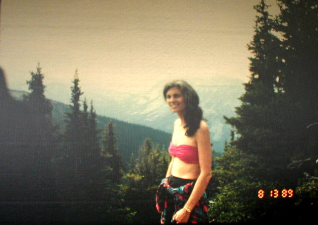
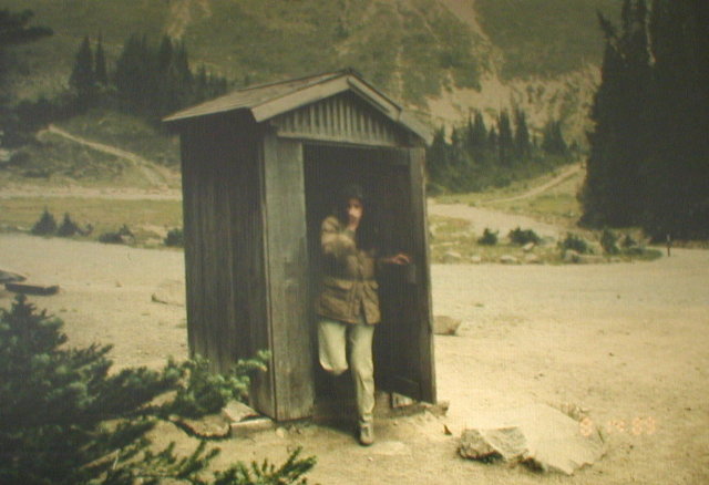
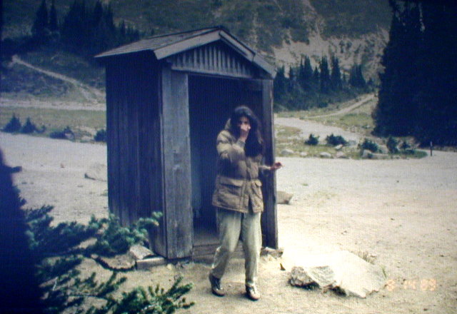
We weren't particularly happy with the campsite because it was very open and most of the sites were occupied with other campers all in plain view. I guess we were already used to the relative isolation we had most of the trip. One memorable thing about this camp was the outhouse. It had a particularly strong odor. I got a couple pictures of Ellen coming out of it and from the look on her face, you can see how bad it was.
DAY THREE
In the morning, we headed down the steep switchbacks from Sunrise to the White River Campground dropping 2160 feet. At the campground we used the picnic table facilities to have our lunch. By this time, we had already developed an appreciation for such simple amenities as something to sit on and something flat that we could set our food on.
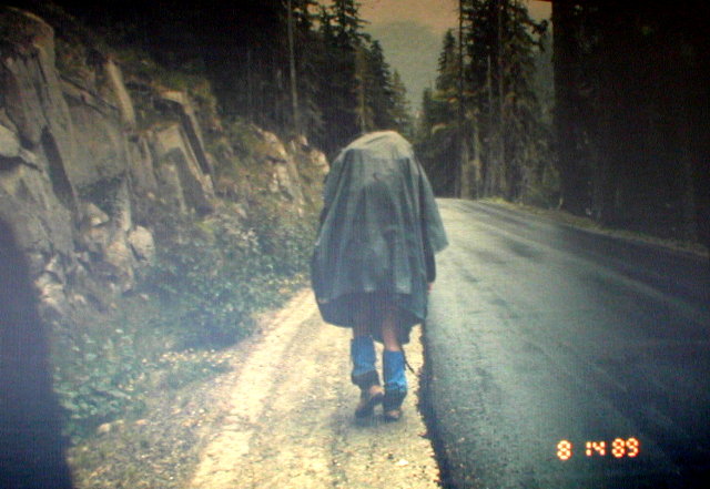
From here, the Wonderland Trail follows the road for about a mile. The weather was overcast and threatened to drizzle a little. About half a mile down the road, the drizzle got heavy enough that we put on our rain gear. We used big ponchos that covered our packs. Mine looked so funny to Ellen that she started laughing out loud as she walked behind me. The poncho going up over my Freighter made me look like a big hunchback. She took the camera and got a picture of me so that later I could appreciate how funny I looked. I also took one of her to get even.
This part of the trail goes in a big semi-circle which goes halfway around the base of Goat Island Mountain in the deep forest. The last half of this semi-circle follows the Fryingpan Creek. At one point there is a stunning overlook of a gorge on the creek. By this time, the drizzle had stopped and it had gotten quite warm.
When the trail crosses the Fryingpan Creek, it starts switchbacking up to Summerland. As we climbed above the timber, there were gorgeous little fields of alpine flowers along the way. Another striking plant was one that has six or seven slender leaves radiating from a central stem. Right in the middle of each of these clusters of leaves was a drop of dew about a quarter of an inch across. It looked exactly as if there were a big diamond placed in the center of each of these round groups of leaves.
Somewhere along here, the ranger who had talked to us at Sunrise about our new campsite destination, caught up to us. She was on her way to Summerland for a routine check. She asked us if we thought we could make it to the campsite she had told us about and whether we were sure we knew how to find it. We answered "yes" to both questions but I don't think we sounded convincing.
She said "Good luck", and continued past us up the trail.
Summerland is a beautiful place, and as a result, is very popular. As we expected, the shelter was already occupied by a family or two. We stopped and rested there for a while and used the outhouse facilities. On the inside door of the outhouse was a map of the area showing a ranger camp a little ways up the trail from the Summerland shelter. A note on the map described how to get there but it also had a plea NOT to go up there unless it was an emergency.
When I left the outhouse and went back to my pack, here was the ranger again. It was getting late and it was still a long way to Panhandle Gap (another 750 feet of elevation gain.) She asked us how we were doing, but I don't think she listened to our answer. Instead she said she had another idea. She said we could camp in the ranger camp that I saw on the map in the outhouse.
She said that she was in charge and could authorize it and that she wasn't going to use it tonight except to get some tools that she would be returning before she went back down. That sounded great to us.
We followed her up the trail to the camp. On the way we went through a field of rocks that housed a group of marmots. One let us take his picture of him in his hole.
When we reached the camp, the ranger pointed to a stand of trees about a hundred yards to the east of the trail. She had placed stepping stones about every three feet across the slope leading to the camp. The little plants hugging the ground here are very fragile and the rangers treat them and the animals like personal friends. Even the marmot in the hole had a name, which we think was Freddy.
She told us that if we lost our balance, it was OK to step off the stepping stones to avoid breaking a leg, but if at all possible try to stay on the stepping stones. So the three of us gingerly hopped from one stone to the other to the camp.
We weren't sure what to expect in that clump of trees, but I had sort of imagined a log cabin with a stove, bunks, and such. Well, I wasn't even close. The ranger camp was just a little flat spot where you could pitch a small tent, and there was a rotting log laying on the ground. Chained to a tree was a wooden box containing shovels and some other tools. That was it. That was the ranger camp but it still looked pretty good to us.
The ranger took a shovel from the box and said that she was going up to Panhandle gap to work on the trail. She said that some hikers can't seem to find the trail in the snow and they trample on her little flowers. This makes her angry so she was going to go up and clearly mark the trail so the hikers would stay on it. She said that she would be back later to return the shovel but that otherwise, the camp was ours.
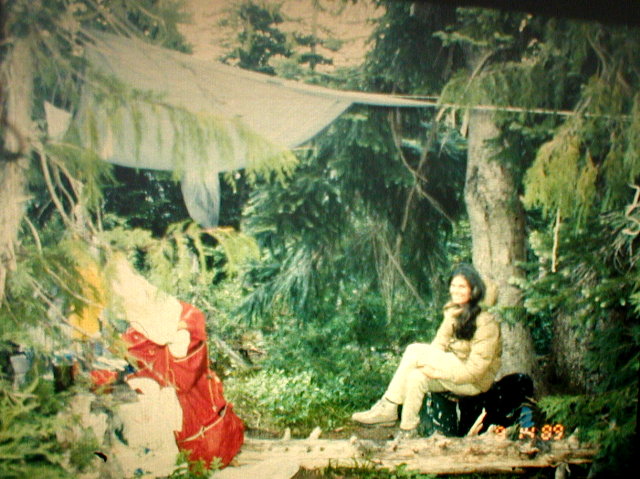
She left and we set up our camp and started cooking dinner. About that time, it started drizzling again, so we rigged a poncho overhead as a rainfly to keep us dry. It also was pretty dry sitting on the toolbox under the tree.
After dinner, the drizzle had turned to a light rain and the ranger came back, looking pretty wet. She said something like "There, if I can cut steps in the steep snow in the rain, the hikers should be able to stay on the trail and off my plants."
We commented on her having to hike all the way back down the mountain in the rain and it was getting dark soon. She said "Yes, but I have a car at the road that will take me to a hot shower and a warm bed. You have to sleep up here tonight." She seemed pretty cheerful when she left so we didn't feel too sorry for her.
©2002, 2003 Paul R. Martin, All rights reserved.