Log Home Pictures from 1991
To view the next set of pictures in order. . . . . . . . . . . . . . . . . . . . . . . . . . . . . . . . . . . . .use this link: nextOther years: 1991 1992 1993 1994 1995 1996 1997 1998 1999 2000 2001 2002 2003 2004 2005 2006 2007 2008 2009 2010 2011 2012 2013 2014 2015 2016 2017 2018 2019 2020 2021 2022 2023 2024 2025
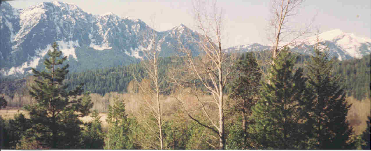
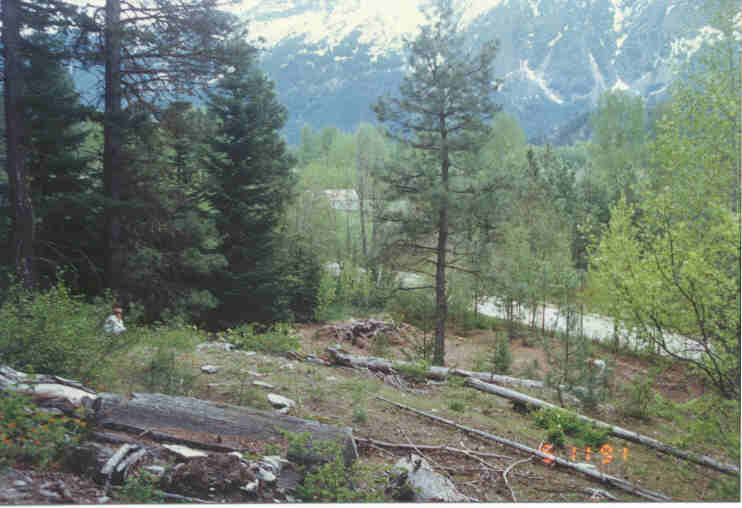
This is the view from our building site. That is Nason Ridge on the left and center. The snow covered mountain on the right is Mt. Mastiff. You may need to scroll over to see it.
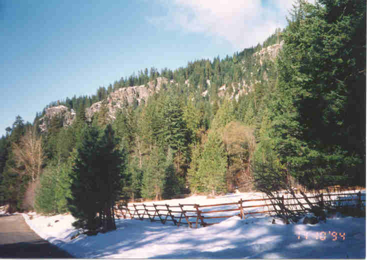
Our property is the woods just beyond the rail fence on the far side of the clearing. White River Road looking northwest is at the lower left. The cliff on the horizon on the left is the viewpoint you can drive up to.
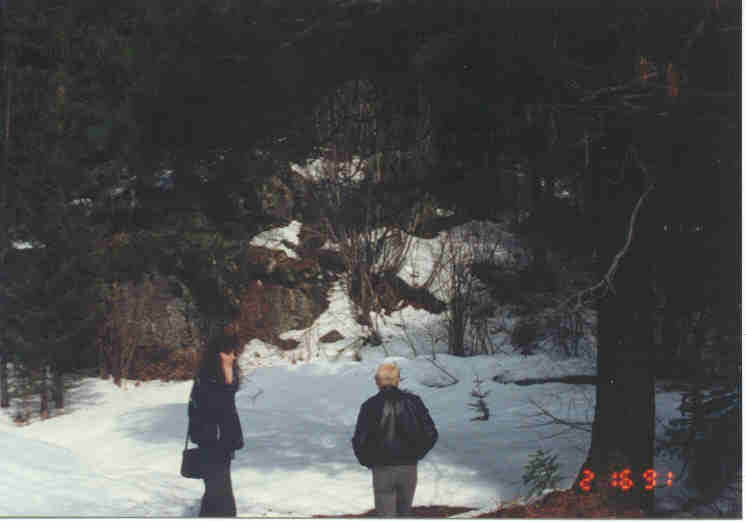
Ellen and Earl Landin looking at our future building site the first moment we saw it.
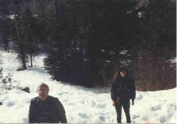
Ellen and Earl at the moment we decided to buy the place.
The building site as we bought it. White River Road is below and Nason Ridge is in the background.
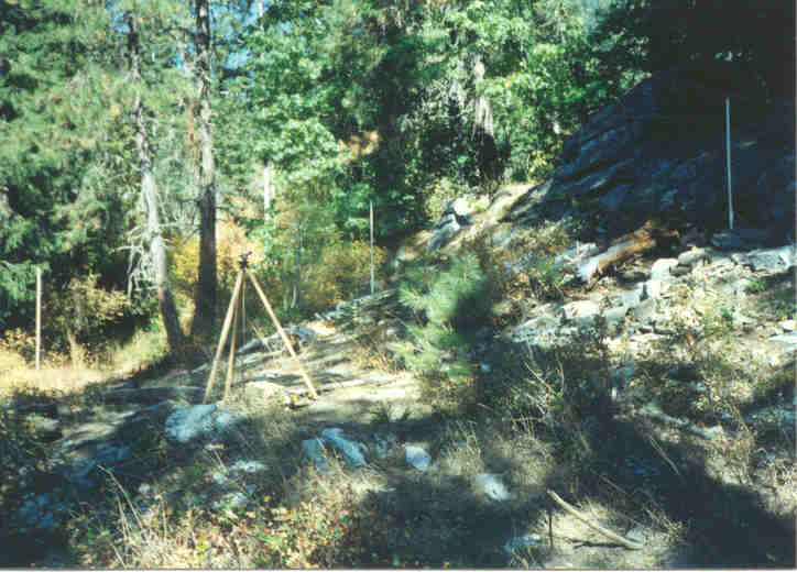
The corners of the building are staked out. The transit level is at the south corner. The other three corners are the thin vertical poles at the left, center, and right of the picture. You can see the High Rock above and behind the northeast wall.
Pictures from other years:
1991
1992
1993
1994
1995
1996
1997
1998
1999
2000
2001
2002
2003
2004
2005
2006
2007
2008
2009
2010
2011
2012
2013
2014
2015
2016
2017
2018
2019
2020
2021
2022
2023
2024
2025
©2003-2025 Paul R. Martin, All rights reserved.